Farmers can now measure and, as a result, better manage weeds on their property with the help of a phone app developed by AgResearch.
The scientists behind the Grassland Cover Estimator phone app ran a series of “in-paddock tutorials” to instruct farmers how to use the technology and get their feedback on how to make it better.
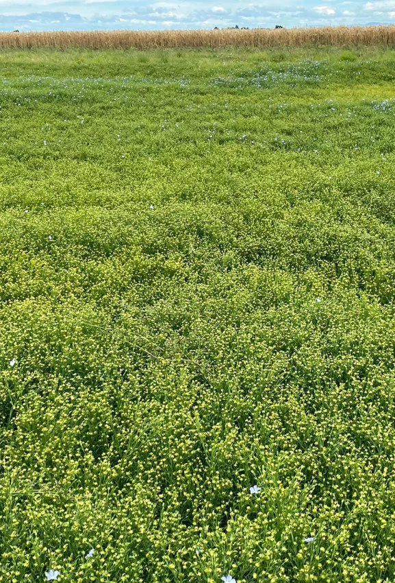
The app provides an estimate of the percentage of a paddock that is occupied by a particular component, for example a weed, desirable plant, bare ground, litter or insect damage.
Nineteen dairy farmers took part in an in-paddock session with AgResearch scientists where they got hands-on experience using the phone app to measure the cover of giant buttercup in the paddock. The measurements are augmented by the Giant Buttercup Decision Support Tool (web application) to model the expected net financial benefit from a selection of the herbicide options available in the app. Giant buttercup is unpalatable to dairy cows due to its production of the toxin protoanemonin. It spreads through dairy pasture, reducing pasture quality and dry matter yield and has been a particular problem in the Golden Bay area.
Data from the app can also help map giant buttercup and other weed infestations at various geographical scales from paddock to farm to district. The app appeals to a variety of users working directly or indirectly in the pastoral sector. Users include regional councils, biosecurity officers, rural professionals, farm advisors, scientists and students. The app has been downloaded across New Zealand, China, the UK, France, Germany, the USA and Canada.